Georgia, Tbilisi, Oct. 1 / Trend N.Kirtzkhalia /
The Caucasus Environmental NGO Network (CENN) has launched a study of erosion on the Georgian-Azerbaijani border. The Environment Protection and Natural Resources, Interior and Foreign Ministries have requested the CENN information on how and under what principle the border runs in the north-eastern part of the Dedoplistskaro region along the Alazan river bank.
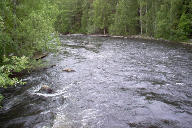
"The Azerbaijan-Georgia border section in the Signakh region and the north-east of the Dedoplistskaro region runs along the Alazan River. Mostly the river erodes narrow necks, and hundreds of acres are across the river," a representative for the association, Rezo Getiashvili, said.
He said that the most effective steps that can be taken by the Georgia will be a shore protection and preservation of the isthmus.
"However, those documents that define the border in the area are also important. At this stage, the demarcation of the Georgian-Azerbaijani border has not been carried out, and the leadership has the normative acts of the Soviet period. According to our information, coordinates to establish the boundaries were defined only in some areas, and the natural boundary between the two countries remains the Alazan River. We require information on what principle the boundary is held at the site, what coordinates are installed there, and what documentation the Georgian side uses in the identification of the border's demarcation. This information will be important to establish the feasibility of shore protection works on the Alazan River," he said.
Do you have any feedback? Contact our journalist at [email protected]


