


BAKU, Azerbaijan, July 22
By Ilkin Seyfaddini - Trend:
The Government of Uzbekistan plans to launch an information system containing data on the type, borders and users of land plots by the end of 2020, Trend reports citing the press service of the president.
This was discussed at the meeting on ensuring full land registration and state cadaster, held by President of Uzbekistan Shavkat Mirziyoyev.
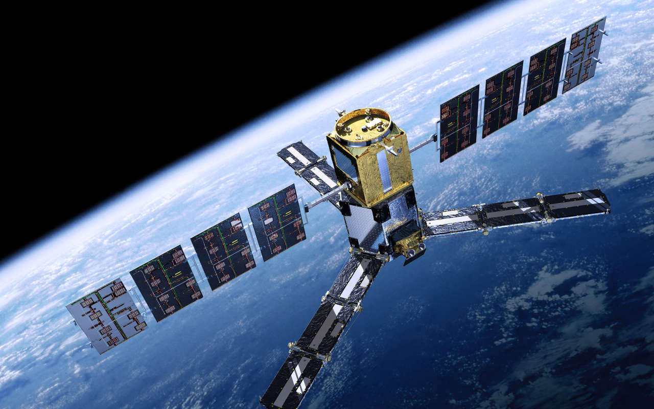
The president also tasked responsible authorities to lease satellite channels and establish a system for signal processing. This will contribute to the analysis of yield, land reclamation condition by comparing space images taken in different years, the message said.
Shavkat Mirziyoyev noted the necessity of digitalization of agricultural management, land balance and accounting in the National Geoinformation System starting, from 2021. The president gave instructions to introduce the procedure of allocating agricultural lands through electronic system by the end of 2020, as well as to optimize land categories with the involvement of international experts.
"It has been proposed to transfer the functions of the State Committee on Land Resources, Geodesy, Cartography and State Cadaster for soil quality assessment, land development, placement of crops, as well as the Research Institute of Soil Science and Agrochemistry to the Ministry of Agriculture of Uzbekistan. The president gave tasks to modernize laboratories of the Institute at the expense of $87 million provided by the World Bank," the message said.
The Ministry of Agriculture was instructed to prepare soil analysis and agro-technological maps of 10,000 hectares of land by the end of the year.
During the meeting the issue of determining the real value of land in cities and villages and forming a land market was discussed, the message said.
President Shavkat Mirziyoyev noted the low personnel potential of the sphere. In this regard, the importance of establishing a branch of a foreign university, the need to establish cooperation with the University of Pisa (Italy) and the Moscow State University of Geodesy and Cartography (Russia) were emphasized.
---
Follow author on Twitter: @seyfaddini