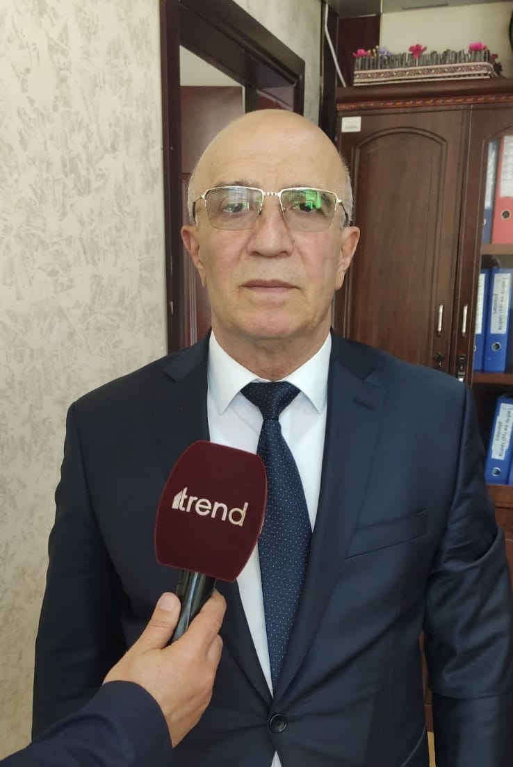
BAKU, Azerbaijan, May 23. The Public Association "Cartographers of Azerbaijan" has prepared an interactive map showing the mining operations and processing facilities in Armenia, as well as the environmental damage caused by these operations, Chairman of the aforsaid association Mugabil Bayramov told Trend.
According to him, this map indicating the location of the main polluting enterprises in Armenia has also been published in Armenia.
"The map was prepared in three languages: Azerbaijani, English, and Armenian. The purpose of its preparation in English is to inform the international community about these environmental crimes," Bayramov said.
He noted that the settlements on the map are marked with both ancient Azerbaijani names and their changed, Armenian names.
"Historical toponyms were used in the names of mountains, rivers, and settlements. We used various historical maps. Looking at these maps, one can see that all the toponyms in the territory of Western Azerbaijan are of Turkic origin. The prepared map was posted on the website of our association.
Ten days later, various international public organizations began to express their attitude to this information. It was also published by various media outlets operating in Armenia. After that, Armenian NGOs also spoke out. Environmental press outlets operating in Iran also published our information.
They began to provide data on the pollution of the Araz river, and data began to arrive that as a result of the pollution of the river, the number of oncological diseases among people living in nearby areas had increased," Bayramov added.
Stay up-to-date with more news on Trend News Agency's WhatsApp channel


